

WestboundNorth Street, stop N5, towards Churchill Square and Hove
- Live times appear here when your browser runs JavaScript.
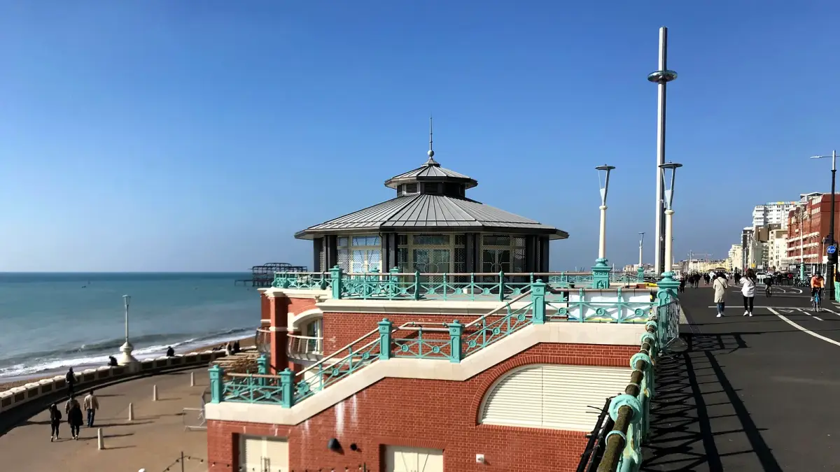 Photo: Ian Hawfinch, CC BY-SA 2.0
Live travel
Live train and bus times for central Brighton, and where to check roads, parking and the weather before you set off.
| Time | Destination | Plat | Expected |
|---|---|---|---|
| Live times appear here when your browser runs JavaScript. | |||
| Time | From | Plat | Expected |
|---|---|---|---|
| Live times appear here when your browser runs JavaScript. | |||
Times from National Rail, refreshed every minute. You can also see the official departure and arrival boards.
Times from Brighton & Hove Buses, refreshed every minute. means the bus is tracked live and shows minutes to go; a clock time is from the timetable. Many more routes stop at Churchill Square, the Old Steine and Brighton station.
Brighton station is at the top of Queens Road, about ten minutes' walk downhill to the Clock Tower and the seafront. For journeys further afield, tickets and step-free access, use National Rail's Brighton station page. Hove, London Road and Moulsecoomb stations also serve the city.
Brighton & Hove Buses run most routes in the city, and many pass the Clock Tower, North Street and the Old Steine. Plan a trip on buses.co.uk, or see every bus serving Brighton on Bustimes, which covers all operators.
Check the A23, the A27 and planned roadworks before you travel. National Highways' Traffic England covers the trunk roads, and one.network shows roadworks and closures in the city.
Central Brighton has council and private car parks, and most streets are in controlled parking zones. See Brighton & Hove City Council's parking pages for car parks, zones and prices.
The city council lists public toilets, including those on the seafront. National Rail's station page above covers step-free access at Brighton station.
The seafront can be much windier than the streets behind it. Check the BBC forecast for Brighton before a day on the beach.